3D Laser Scanning: A Conventional Way of Surveying
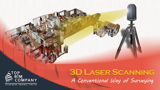
U sing indirect or direct measurements, surveying is a technique that establishes the relative positions of numerous features beneath, above, or on the earth's surface. The results are then represented as parts of a plan or map. Considering the present reality and translating it to virtual reality through equivalent mapping technologies or sophisticated software, it is employed in a wide range of technical applications. The entire goal of surveying is to create d etailed records of all types of man-made objects, including buildings, trees, land contours, sidewalks, and topography. To collect such data, a variety of measurement techniques have been used over time. But as the world develops quickly, so does the requirement for more accurate measures. For today's needs, advanced 3D technology is more readily available than ever. Additionally, it can now provide comprehensive documentation, which with conventional measurement techniques looked practically impossible. Check o...